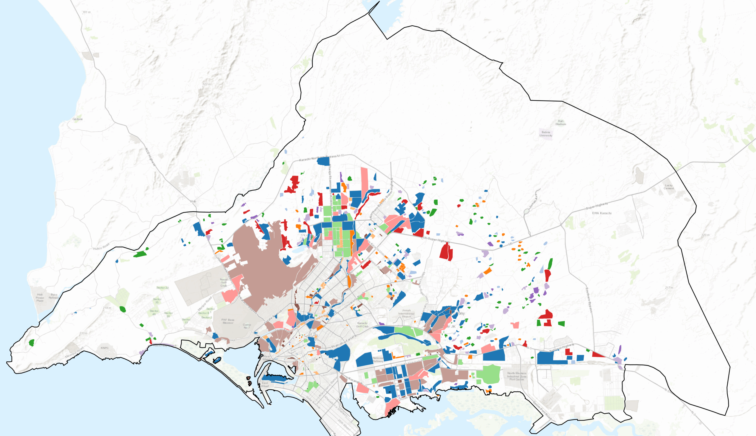
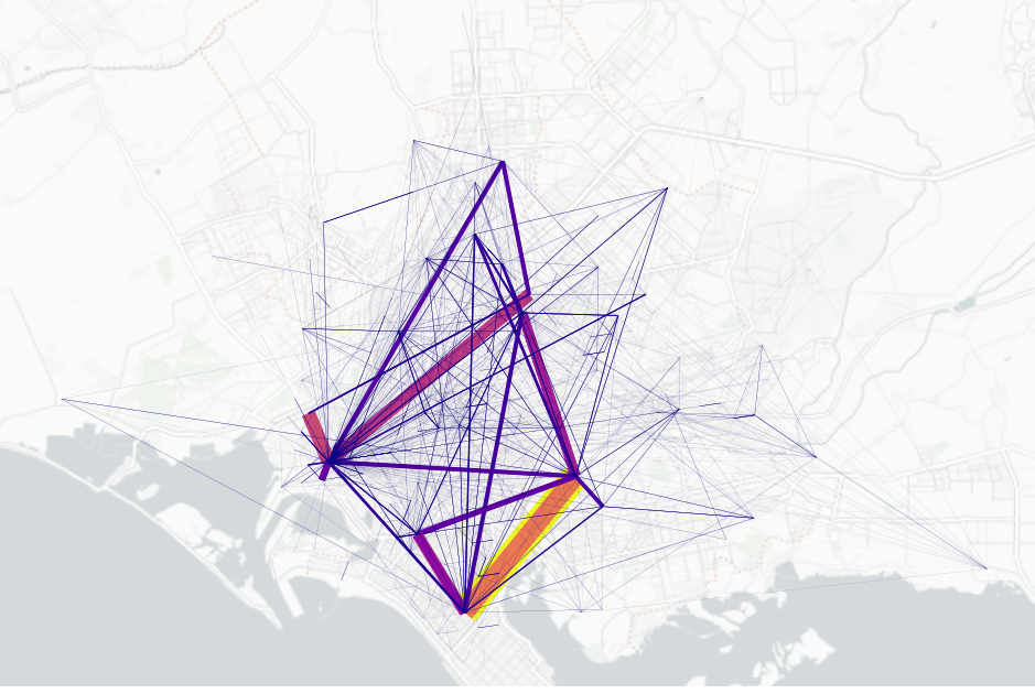
As part of the GKRP 2047 planning process, our team has been exploring the city through a data-driven lens 🔍— looking at how urban form, mobility, access to amenities, environmental conditions, and public spaces interact to shape everyday life.
Using spatial analytics and urban diagnostics, we are building a clearer picture of how the city functions today and where opportunities for improvement may lie — gradually layering urban intelligence into traditional GIS to move from mapping what exists to understanding how the city behaves. From understanding patterns of accessibility to examining the relationship between urban density, green spaces, and environmental exposure, this work helps turn complex datasets into meaningful insights for long-term planning.
The goal is simple but powerful: use evidence to guide better decisions, supporting a future city that is more resilient, inclusive and sustainable as we look toward 2047.
Behind every map and dataset is the same question: how can cities work better for the people who live in them?
#UrbanPlanning #CityData #FutureCities #GIS #UrbanAnalytics #SustainableCities #GKRP2047 #UrbanIntelligence #Karachi