Contemporary Urban Planning is powered by Digital Mapping and GIS — tools that help us see the hidden layers of a city and plan smarter for the future.
For the Greater Karachi Regional Plan 2047, we’re building a GIS database to:
✅ Analyse land use, transport, jobs, pollution & governance
✅ Model climate change impacts and regional resilience
✅ Optimise transport networks for population growth
✅ Identify sites for schools, hospitals & social infrastructure
✅ Foster the development of a healthier, more equitable, accessible and greener Karachi
Mapping takes time — it means acquiring, analysing, and digitising vast data. But the outcome will be a better future for all.
💡 What do you think? Which data layers should we prioritise — environment, mobility, health, economy, or something else?
Share your thoughts in the Feedback section!
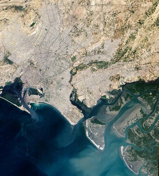
Photo credit: Karachi Coast and Indus Delta by eutrophication&hypoxia’s, license – CC BY 2.0.